


Dredging Survey
Continuously measure spoil moved down to the cubic foot. Verify clearing depths to a precision of 10 cm.
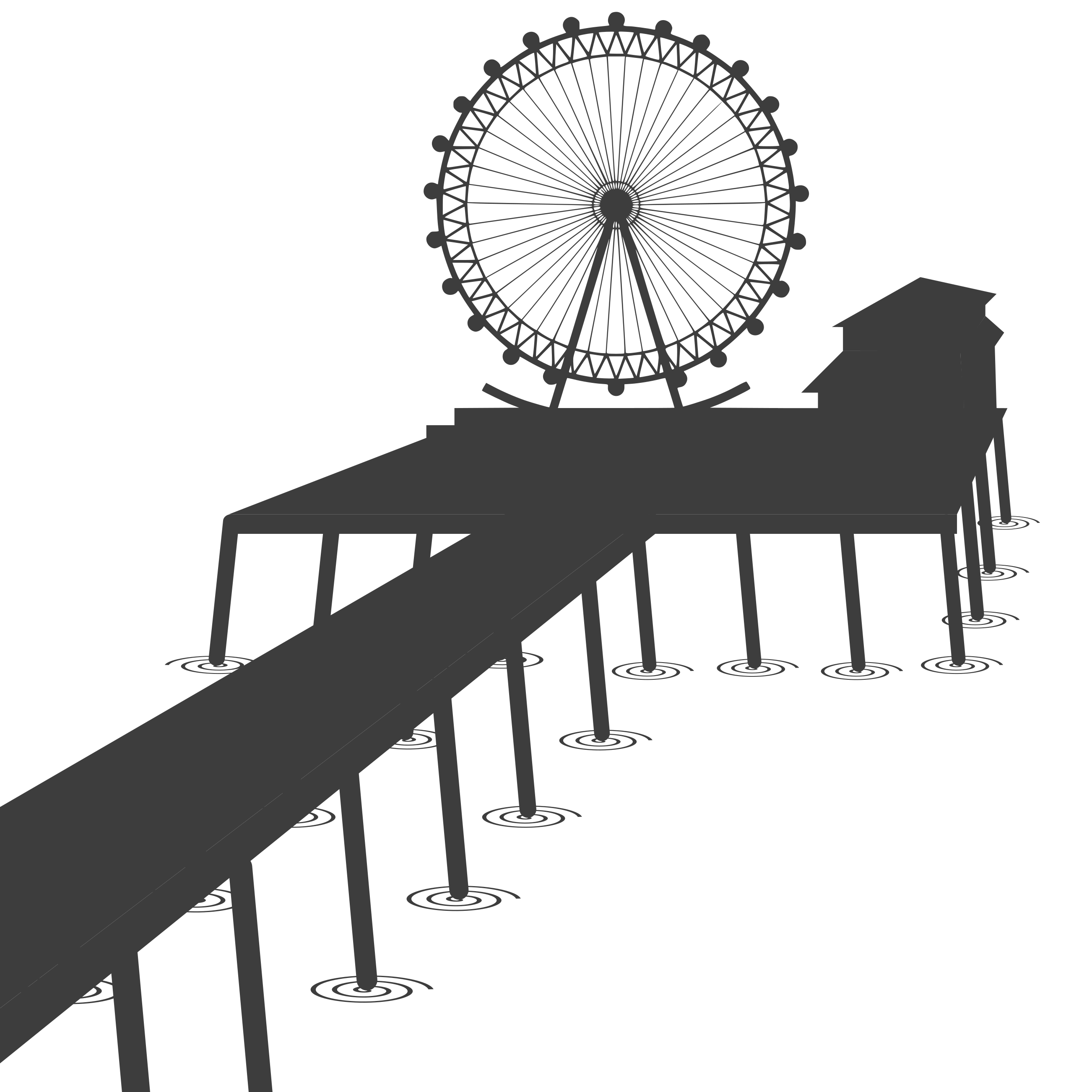
Shorline Construction
Measure precise placement of breakwaters or progress of beach replenishment.

Environmental Monitoring
Observe fine scale changes to estuarine environments over short and long time scales.

Gps Limited Environments
Precisely monitor bridge scour in areas where most survey vessels lose accuracy.
About us
It all started with a POS
The resolution of modern multibeam sonars is fantastic, but few if any systems are able to localize the sonar well enough to take advantage of that resolution. To solve this problem we developed the Pontoon Of Science [POS]. It is equipped with dual RTK GPS antennas, a high precision AHRS, and a DVL. Using this hardware and our sensor fusion software we are able to localize the boat to within 2 cm horizontally and 10 cm vertically with heading precision of .3 degrees. This allows us to produce maps of equal better better quality to the state of the art at a much lower cost.
Portfolio
Here are a few examples of our maps and field operations.
The Team
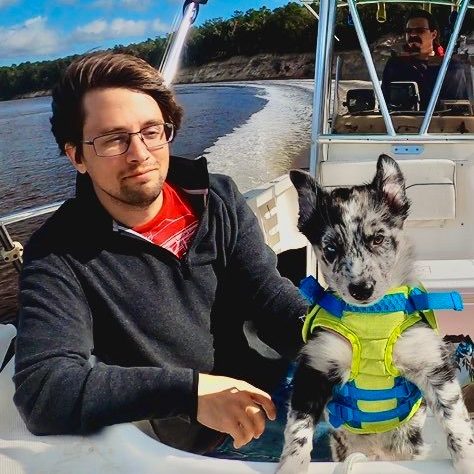
Kris Krasnosky
Ph.D. Marine Robotics and Mapping
Captain, Master 50 Ton Near Coastal

Dave Casagrande
M.S. Ocean Engineering, Marine Robotics
10 years experience in oceanographic research and ROV operations